
2 inch
3 inch
3.5 inch
-11%
Sold Out
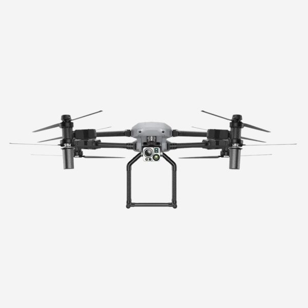
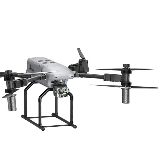
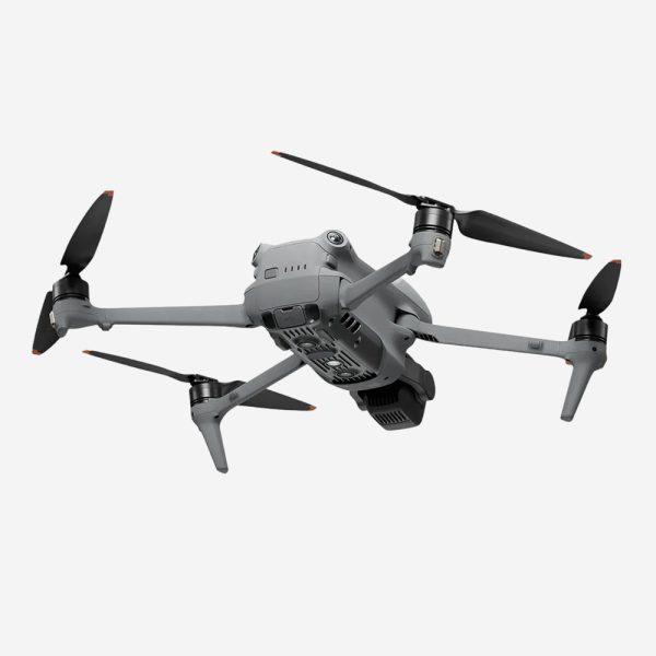
Autel Titan - Without L35T Camera Payload
Original price was: $450.00.$400.00Current price is: $400.00.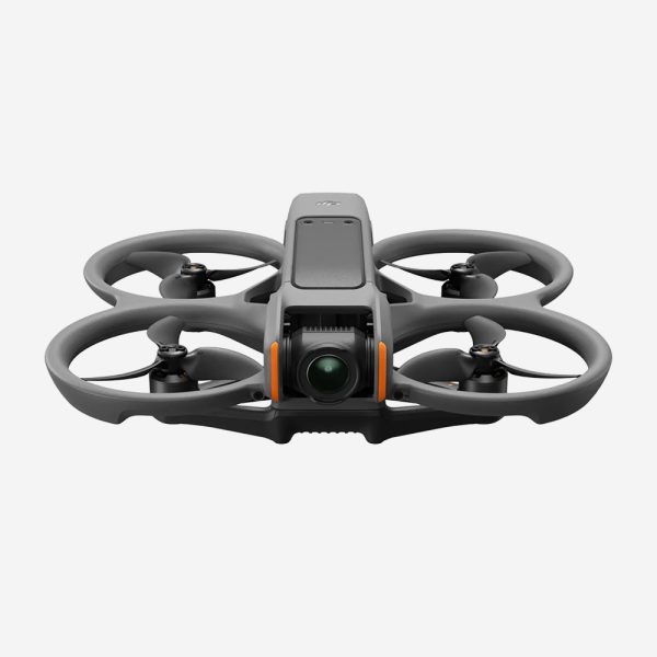
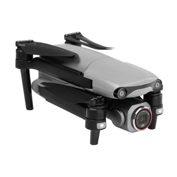
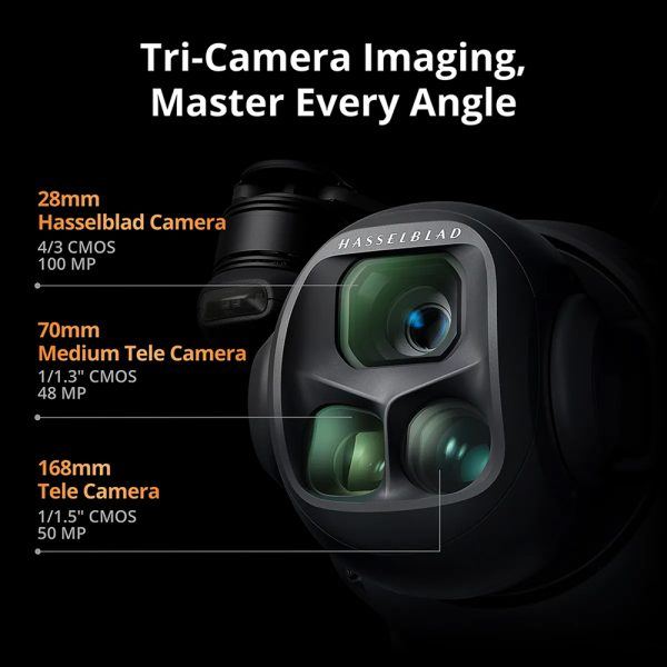
DJI Mavic 4 Pro Fly More Combo with RC 2 Controller
Price range: $150.00 through $500.00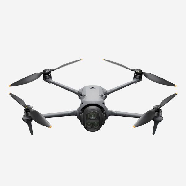
2 inch
3 inch
3.5 inch
4 inch
5 inch
6 inch
7 inch
Hot
-17%
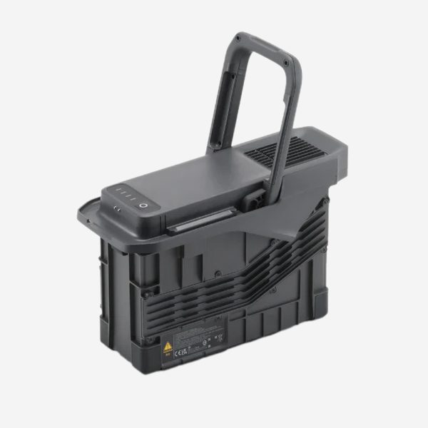
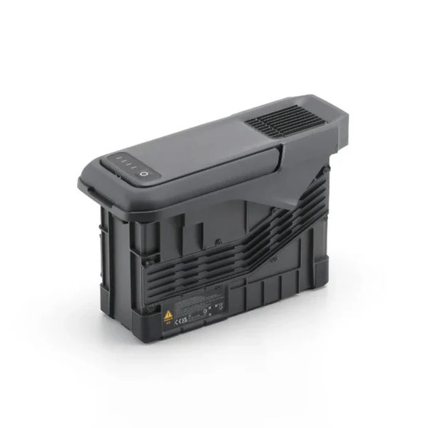
DJI Matrice 400 TB100 Intelligent Flight Battery
Original price was: $300.00.$250.00Current price is: $250.00.


Hot
-25%

Air 3S Drone Fly More Combo with RC 2 Remote Controller
Original price was: $200.00.$150.00Current price is: $150.00.Hot
-17%
DJI Matrice 400 TB100 Intelligent Flight Battery
Original price was: $300.00.$250.00Current price is: $250.00.Hot
-11%
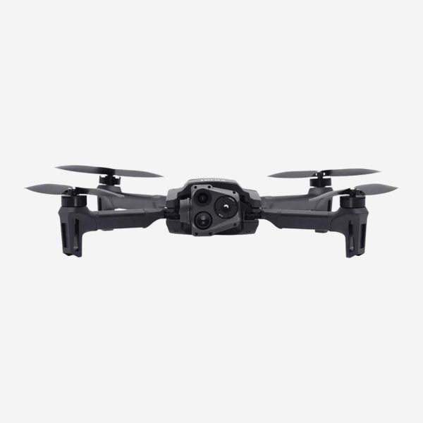
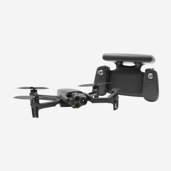
Parrot ANAFI USA Thermal Drone with Skycontroller
Original price was: $450.00.$400.00Current price is: $400.00.2 inch
3 inch
3.5 inch
4 inch
5 inch
6 inch
7 inch
DJI Mavic 4 Pro Fly More Combo with RC 2 Controller
Price range: $150.00 through $500.00“Stable transmission and predictable handling significantly improve efficiency during professional aerial tasks and repeated flight sessions.”
Daniel Wright
Professional Drone Pilot
“Stable transmission and predictable handling significantly improve efficiency during professional aerial tasks and repeated flight sessions.”
Daniel Wright
Professional Drone Pilot